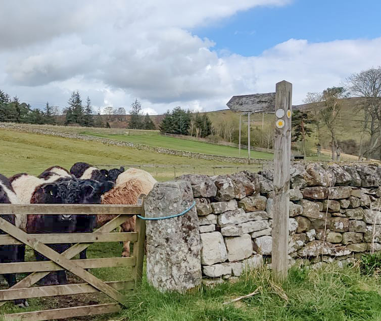
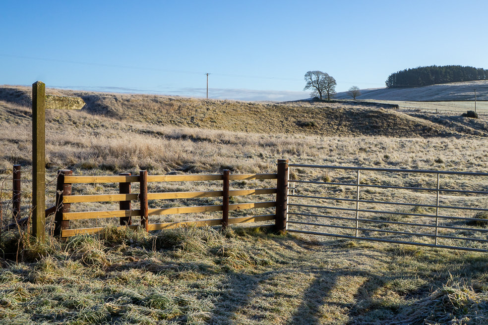
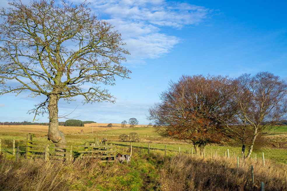
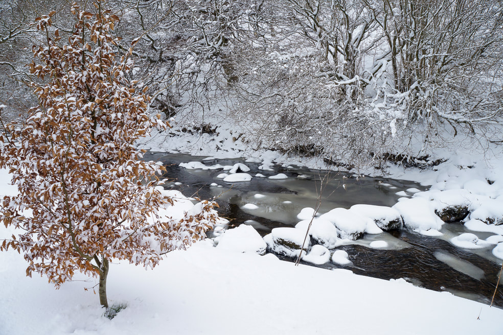
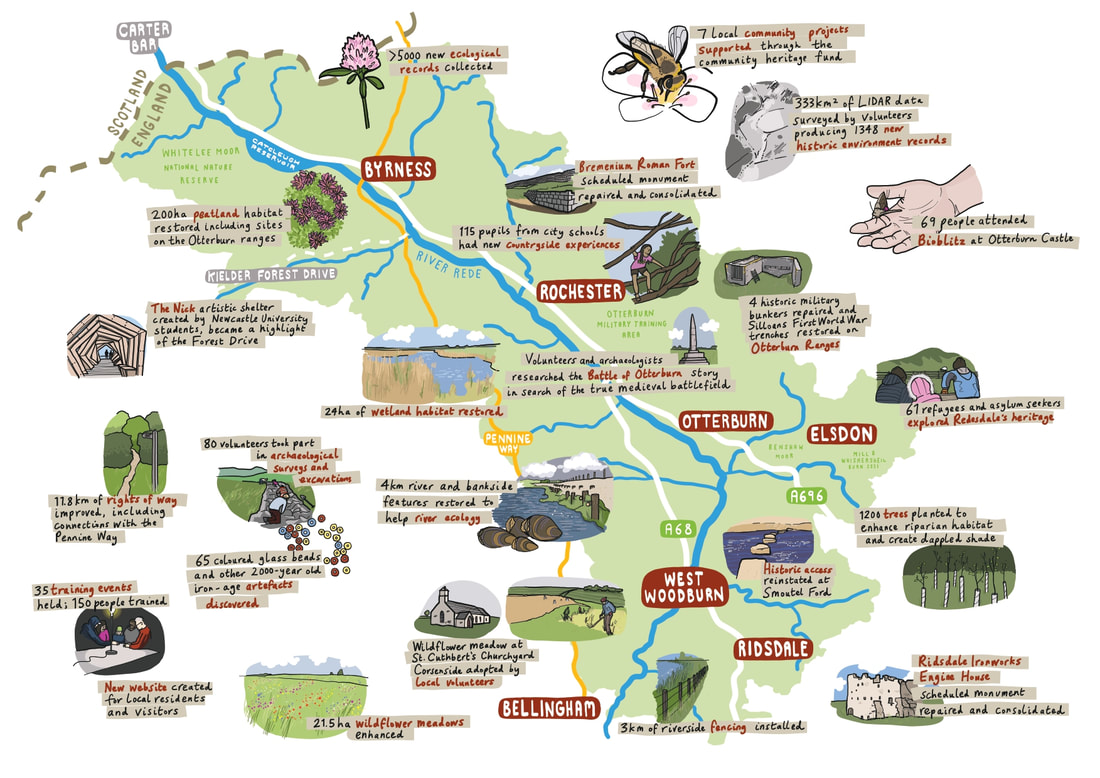
During 2021 & 2022 I was thrilled to be part of Revitalising Redesdale. This archived website page shows what we got up to:
With thanks to the marvellous Revitalising Redesdale Community Heritage Fund and the National Lottery Heritage Fund I am delighted to be running regular photography walks in Northumberland.
Four locations within beautiful and rugged Redesdale have been carefully chosen and will be revisited throughout the changing seasons. Walkers and photography beginners or enthusiasts alike are invited to attend one or more walks to photograph the landscape, flora and fauna.
You need not be an expert in photography, in fact you need not even have a camera (phones are fine) I will show you wonderful sights to capture and give ideas and technical tips. The groups are small making these sessions supportive and informative.
We are inviting participants to share with us their favourite photos of Redesdale for a chance to have them included in a photography exhibition which will tour the villages halls and the parish & country shows of Redesdale in September 2022. A great chance to see your work printed and proudly displayed in public!
BOOKING IS ESSENTIAL! PLEASE BE SURE TO RESERVE YOUR PLACE.
As Revitalising Redesdale concludes this year most of our planned walks have been and gone. Do check out the work by the participants which will be shown in all 4 parishes of Redesdale in September.
The best way to hear about new outings and walking routes is to sign up for our monthly email newsletter by filling in our contact form here. Freshly published walks will also appear on this page.
EXHIBITION
To mark the end of the walks sponsored by Revitalising Redesdale (thankfully not the end of the walks- more are in store) we are printing some of the photos we have taken and showing them in the 4 parishes of Redesdale.
From Sat 3rd Sept to Friday 16th Sept: St Cuthbert's at Elsdon.
Sat 17th Sept 1pm onwards: Corsenside Parish Show, West Woodburn
Sun 18th Sept 11am-2pm: Otterburn Memorial Hall
Sat 24th Sept 10.30am onwards: Upper Redesdale Show, Rochester
We look forward to seeing you there!
From Sat 3rd Sept to Friday 16th Sept: St Cuthbert's at Elsdon.
Sat 17th Sept 1pm onwards: Corsenside Parish Show, West Woodburn
Sun 18th Sept 11am-2pm: Otterburn Memorial Hall
Sat 24th Sept 10.30am onwards: Upper Redesdale Show, Rochester
We look forward to seeing you there!
Hindhope Linn
Tickets are £10, concessions £5.
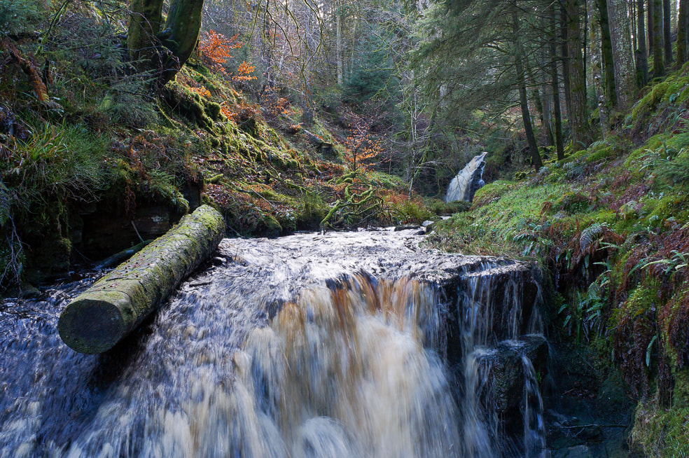
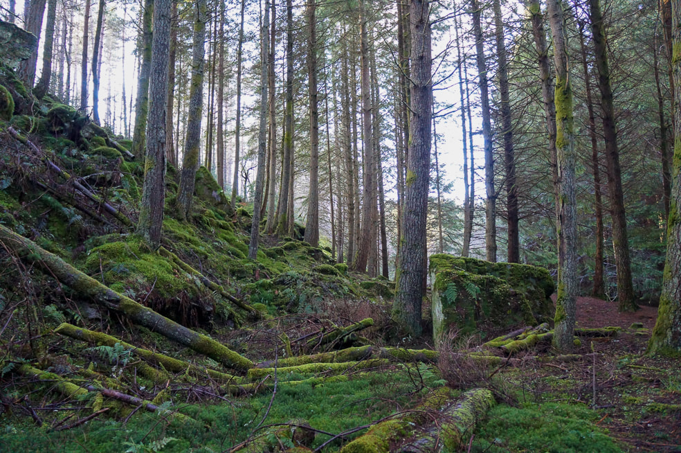
This route of around 2 miles takes us to the spectacle of Hindhope Linn that lies in an area of Kielder/Redesdale forest close to the A68 nr Byrness. The linn (a very pretty waterfall) can be found slightly off the beaten path in a magical dell of mosses, lichen and tall evergreens. The duration of the walk allows time for lingering by the falls and experimenting with various shutter speeds.
Please meet at the car park at Blakehopeburnhaugh (what3words: rocks.event.paces). This is close to the A68, sitting at one end of Kielder Forest Drive. The car park is situated on the Pennine Way, part of which makes up our route.
Distance: approximately 2 miles
Duration: approximately 2 hours
Difficulty: Although this is a short walk on well used paths, parts of the woodland section are narrow, slippery and uneven, in one area the path passes close to the top of the ravine.
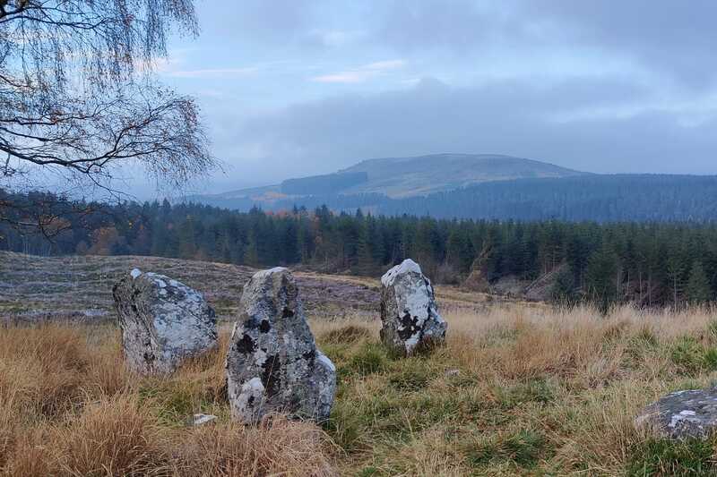
Close to this site, high on the hill, sits the ancient stone circle of Three Kings this affords wonderful views of the Pennines. Depending on the weather conditions and the ongoing forestry work, those who choose to could visit the stone circle as well.
Elsdon Village
Tickets are £10, concessions £5.
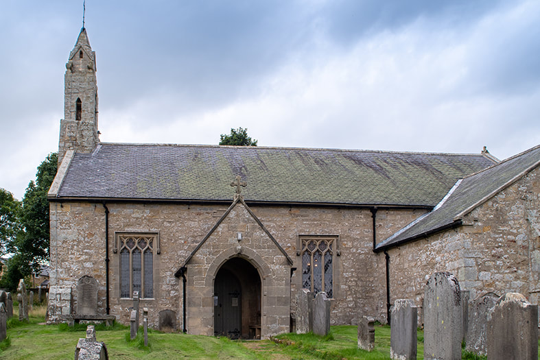
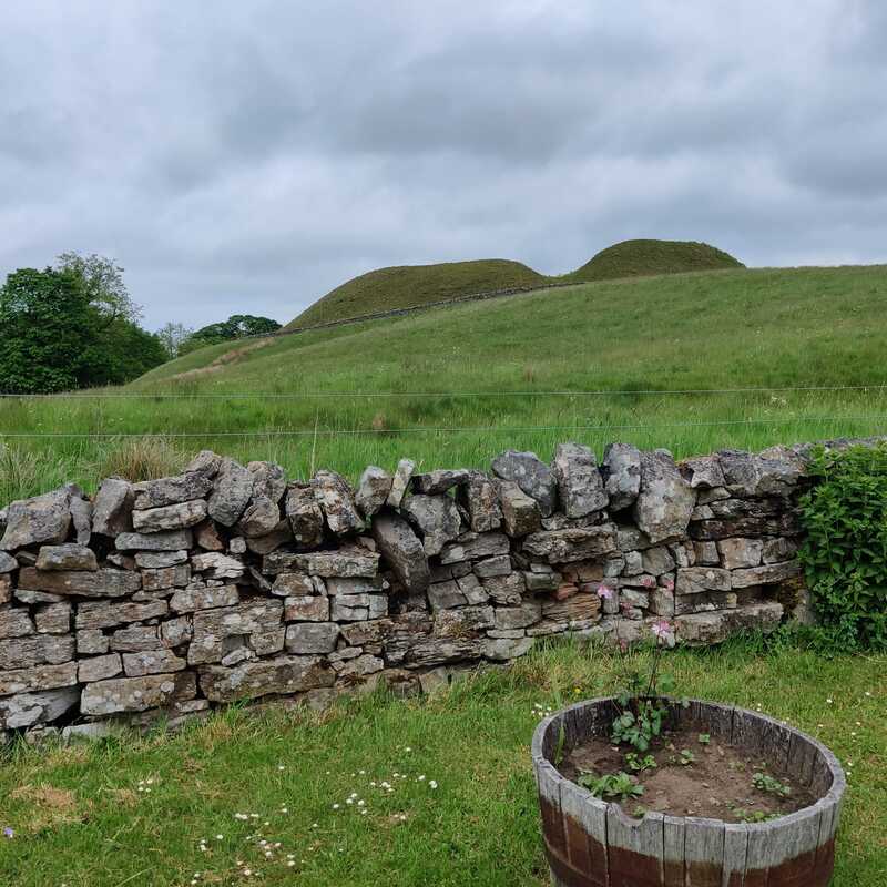
History and beauty abounds in Elsdon meaning you do not have to travel far for wonderful subjects, making this more of a look around than a ‘walk’. Find a bastle, a church, and medieval landworks among other things merely a stones-throw apart. Get tips on taking photos in beautiful but dark places when we get a privileged chance to work inside St Cuthbert's Church.
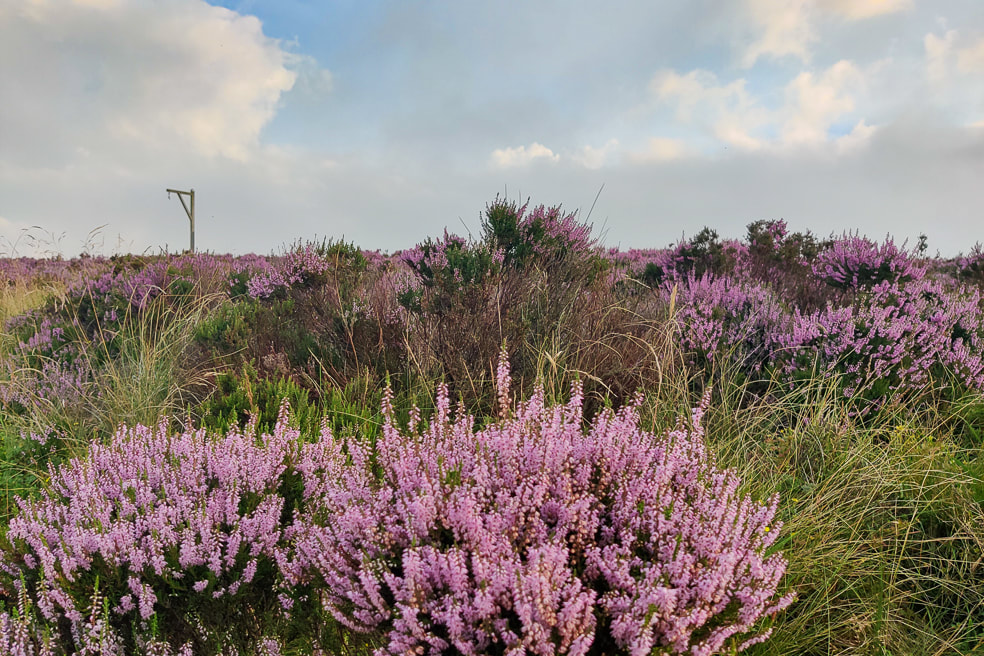
Winters Gibbet is a short drive away and anyone attending this walk from further afield is encouraged to call in on their way home.
Please meet at the village green.
Distance: under 1 mile
Duration: approximately 1.5 hours
Difficulty: Easy.
Corsenside / West Woodburn.
Tickets are £10, concessions £5
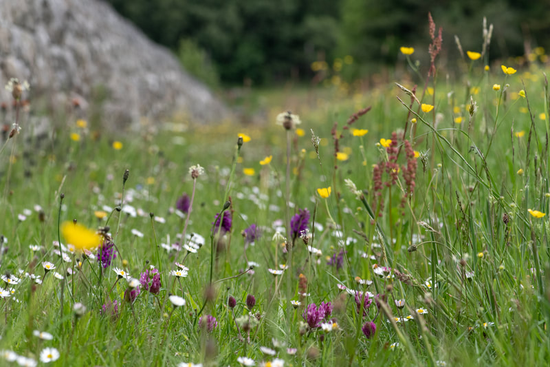
This route of between two and three miles affords wonderful views of the rede valley and beyond both east and west. A picturesque bridge approximately halfway through the walk takes us directly over the river and into a young mixed woodland. This walk culminates at a beautiful wildflower meadow.
Please meet at the lay-by North of West Woodburn on the A68 on the eastern side of the road , this will be on your right if you have come via West Woodburn
(what3words: supper.graced.reprints).
Distance: approximately 2.5 miles
Duration: approximately 2 hours
Difficulty: Easy/ Moderate, this walk descends to the riverside so there is both uphill and downhill sections. In particular returning to the A68 lay-by involves a walking reasonable incline, however this could be avoided by parking lower down the lane. This route crosses farmland and fields of cows and sheep. There is a stile to access a narrow bride over the burn that may not be suitable for everyone.
Otterburn Village Trail
Tickets are £10, concessions £5.
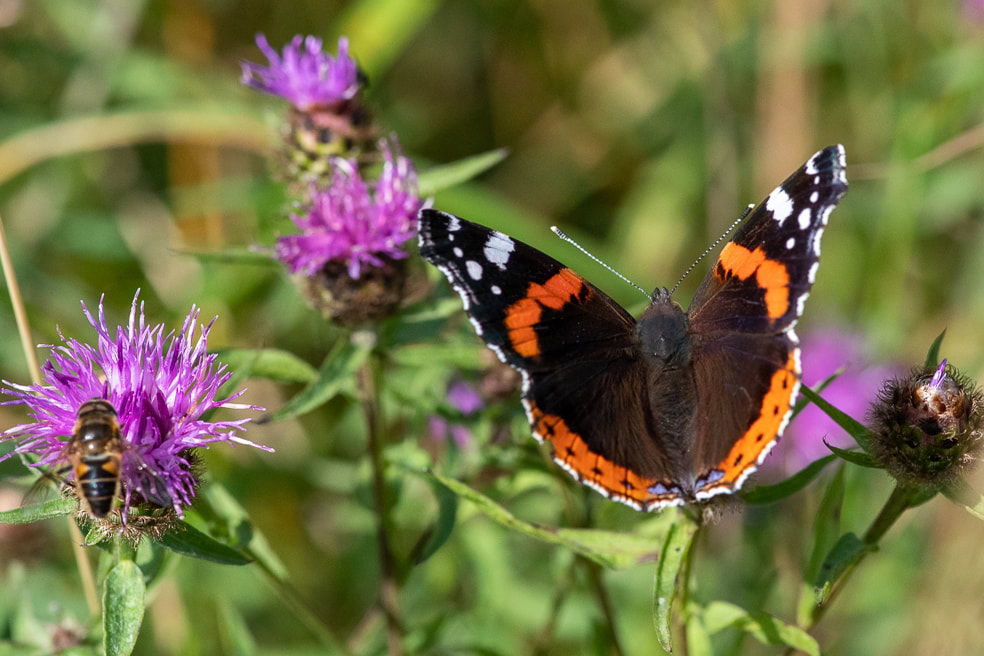
We will begin our walk at Otterburn Mill to see the signs of Redesdale's industrial past. Following the path of the Otter Burn you can enjoy the seasonal delights in this wooded valley. The now partially ruined Victorian Otterburn Hall awaits at the top of this walk.
Please meet at the car park at Otterburn Mill (early arrivers may enjoy the shops and cafe there). This is close to the A696 and is well signposted from that road and the nearby A68.
Distance: approximately 3.5 miles
Duration: approximately 2.5 hours
Difficulty: Easy / Moderate, parts of the burn section can be muddy and therefore slippery after inclement weather. This route crosses farmland and both cows and horses are likely to be on the pathway.
Precautions
Participants are advised to take note of the length and difficulty stated for each walk and make their own judgements about suitability, participation is entirely at your own risk.
Under 18s must be accompanied by an adult.
Outdoor warm and waterproof clothing is advised including sturdy footwear, these routes follow well used local footpaths but the terrain is often uneven, narrow and slippery. Please check the weather forecast for Redesdale and note that it is often cooler and wetter than elsewhere in the county.
Many of these walks take place during the evenings in order to make the most of softer light and quieter paths. In the winter months you are advised to bring a torch. Most routes have no street lighting.
These events have been made possible by the support and funding of
Revitalising Redesdale and The Heritage Lottery fund.
Revitalising Redesdale and The Heritage Lottery fund.
Redesdale sits in west Northumberland and borders Scotland. As the name suggests it is the catchment area for the river Rede that goes on to join the North Tyne.
This has always been a remote sparsely populated area and the signs of its long history remain clearly visible in the landscape: stone circles, roman settlements and medieval bastle houses are just a few of the things easily found.
Nowadays this wide, semi wild expanse of land makes up parts of the Northumberland National Park, Kielder Forest, Otterburn Military Training Area and the UK's largest Dark Sky Park.
Did you know..?
We offer online photography groups and classes for all ability levels.
Our clients rate us 5 stars, to find out more about what you're missing click here.
We offer online photography groups and classes for all ability levels.
Our clients rate us 5 stars, to find out more about what you're missing click here.
